

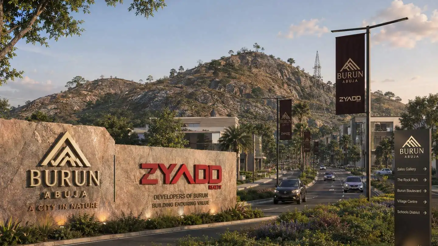
Burun Abuja · Cadastral Zone D20 · Phase 4 South
A city in nature.
319.4 hectares of titled, FCDA-approved greenfield with direct frontage to the Outer Southern Expressway — ten minutes from Apo, twenty-five from the Central Area.
Register an interest →The district
A whole district,
not a scheme.
Systems Property Development Consortium Limited spent over a decade planning Cadastral Zone D20 before Zyadd Realty joined as development partner. The district was awarded by the Federal Capital Territory Administration in 2015 under the Land Swap Model, and sits inside the AIIC Land-for-Infrastructure framework gazetted in FCT Official Gazette No. 12, Volume 108.
That history matters more than the acreage. Burun A is not a proposal seeking approval — it is a greenfield district that is titled, FCDA-approved, and drawn down to plot level: 2,447 plots across three density tiers, 48 kilometres of integrated road, and a 76-hectare corridor holding power, water and ICT.
Every enterprise in the group has a role here. Realty holds and plans it. Materials & Aggregates quarries Zokoyako Hills inside it. Infrastructure Partners services it. Bleum Energy powers it. Burun A is where the structure stops being a diagram and starts being a place.
Location & Connectivity
Burun A District (Cadastral Zone D20) is strategically located along the Abuja Outer Southern Expressway (OSEX), ensuring excellent connectivity to key districts and infrastructure across the Abuja FCT.
Coordinates
8.891883° N, 7.441437° E
Access
Direct frontage to the Abuja Outer Southern Expressway (OSEX).
Proximity
~25 km to Abuja City Centre
~10 km to Lokogoma District
Find us
Burun A District,
on the map.
8.891883° N, 7.441437° E · ~25 km to Abuja City Centre · ~10 km to Lokogoma
Particulars
The three anchors
- iZokoyako Hills17.10 hectares carrying a 15 Mt granite reserve. Quarried by Materials & Aggregates to feed the district's own construction, then terraced into elevated development platforms.
- iiThe lake and parklandA 2.04-hectare artificial lake with a 1.82-hectare recreational park — the amenity frontage the highest-value residential parcels are drawn around.
- iiiThe district centre12.49 hectares of retail, hospitality, offices and civic use, anchored by a 6.54-hectare five-star hotel site and a 5.87-hectare polo club.
The addresses
Places, before they are plots.
- iBurun BoulevardThe district's principal approach, running from the gateway to the village centre.
- iiThe Rock ParkZokoyako Hills held as public landscape — the granite outcrop that gives the district its horizon.
- iiiVillage CentreRetail, hospitality and civic use at the heart of the district centre.
- ivSchools DistrictEducation parcels, anchored by the technical college.
- vSales GalleryWhere buyers see the plan, the parcels and the release schedule in person.
Land-use schedule
What the plan sets aside.
What has already been done
Eleven years of patient structuring.
Design and regulatory approvals are in place. Forward programme dates are indicative and subject to statutory approvals and partner consents.
The engine
A district earns from more than one thing.
Utility tariffs and district service fees form additional income lines. Commercial detail is released under mutual NDA.
Interest
Investors, buyers
and operators.
A data room is maintained for institutional counterparties under mutual NDA. A separate register is kept for plot buyers, and for operators seeking hospitality, retail, education and leisure positions within the district centre.